
Toronto pilots new real-time smart traffic signal technology
November 24, 2017
By
CCE
The city will pilot two technologies, InSync and SCATS, over the next year to determine which works best.
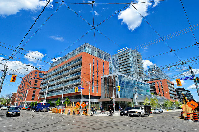
(source: City of Toronto)
The City of Toronto is launching two smart traffic signal pilot projects to test the latest technology in smart traffic systems, able to independently adjust to real-time traffic conditions.
“The City is finally moving into the 21st century and embracing technology that can improve traffic,” said Mayor John Tory. “Over the last three years, we have finally focused on fighting traffic in Toronto and improving commute times. I am determined to build on the progress we’ve made and continue the fight each and every day.”
Unlike standard traffic signals that are fixed to a set timing cycle for morning and afternoon rush hours and off-peak times, the new signals will be able to adjust traffic signals independently to respond to real-time traffic patterns at any time of the day. They can also communicate and synchronize with other smart signals in the vicinity to alleviate congestion.
In the 1960s, the City of Toronto was a leader in North America as the first city to deploy a computerized traffic signal control system. The city currently uses a mix of earlier generation traffic systems, some of which are over 20 years old, to control about 2,400 traffic signals.
The city will test two technologies over the next year to determine which works best for Toronto. At 10 central locations along Yonge Street between Yonge Boulevard and Castlefield Avenue, the city will pilot a technology called InSync which is used in the U.S. This technology makes decisions based on video-analysis camera detection that measures queue lengths on the approach to the intersection and relays that data to the signal.
At 12 locations in the east end, the City will pilot a technology called SCATS which is used in Australia, Asia and the U.S. This technology makes decisions using radar detection to measure traffic flow up and downstream of the intersection.
Both technologies will be tested and compared, and their performance and effectiveness will be measured by comparing before-and-after traffic volumes and travel times using new count stations and Bluetooth detectors.
Transportation staff will also use commercial GPS data provided by HERE, a traffic data sharing company that provides traffic flow and travel time information. The output of the study will allow Toronto to identify the technological solution that offers the best cost and benefits for the city.