
PEI unveils interactive infrastructure map
February 14, 2017
By
CCE
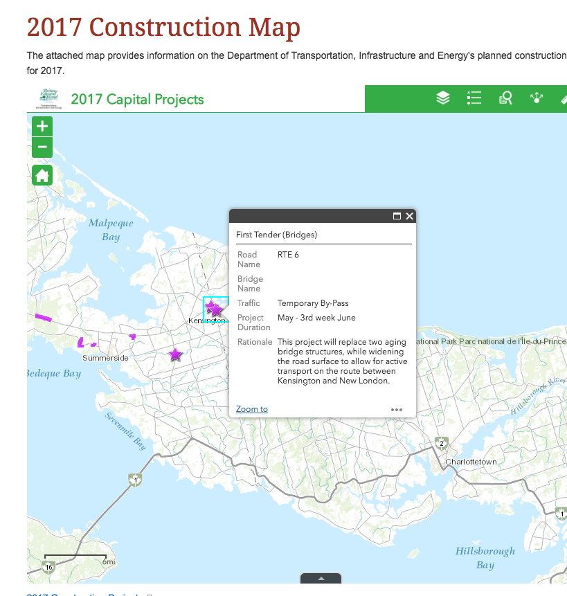
Clicking on an infrastructure project shows a brief description, schedule and rationale for the planned work.
 The province of Prince Edward Island has unveiled a new interactive infrastructure map so residents can learn more about planned road and bridge work across the Island.
The map shows where and when tendered road work is scheduled to happen, along with information about how construction may affect access to communities, businesses and local facilities.
Clicking on a project shows a brief description, schedule and rationale for the planned work. In addition, map filters allow the user to see how the construction relates to a number of factors including population, cultural sites, recreation, education and fisheries.
“When we invest in our highway and bridge infrastructure we help make our province safer, create opportunities for local construction companies, and make our Island more prosperous,”said Paula Biggar, Transportation, Infrastructure and Energy Minister, in a release by the province.
“This map will allow businesses, farmers, emergency providers, and travelers to plan for the upcoming construction season while illustrating to all Islanders how these infrastructure investments benefit their communities and the economy as a whole.”
The release states that infrastructure funding terms negotiated in 2016 allow for federal-provincial funding of Prince Edward Island’s 830 kilometres of collector roads.