
SPONSORED: See All. Be All: Setting New Project Standards with Mobile Mapping
April 28, 2022
By GeoVerra
Brought to you by GeoVerra
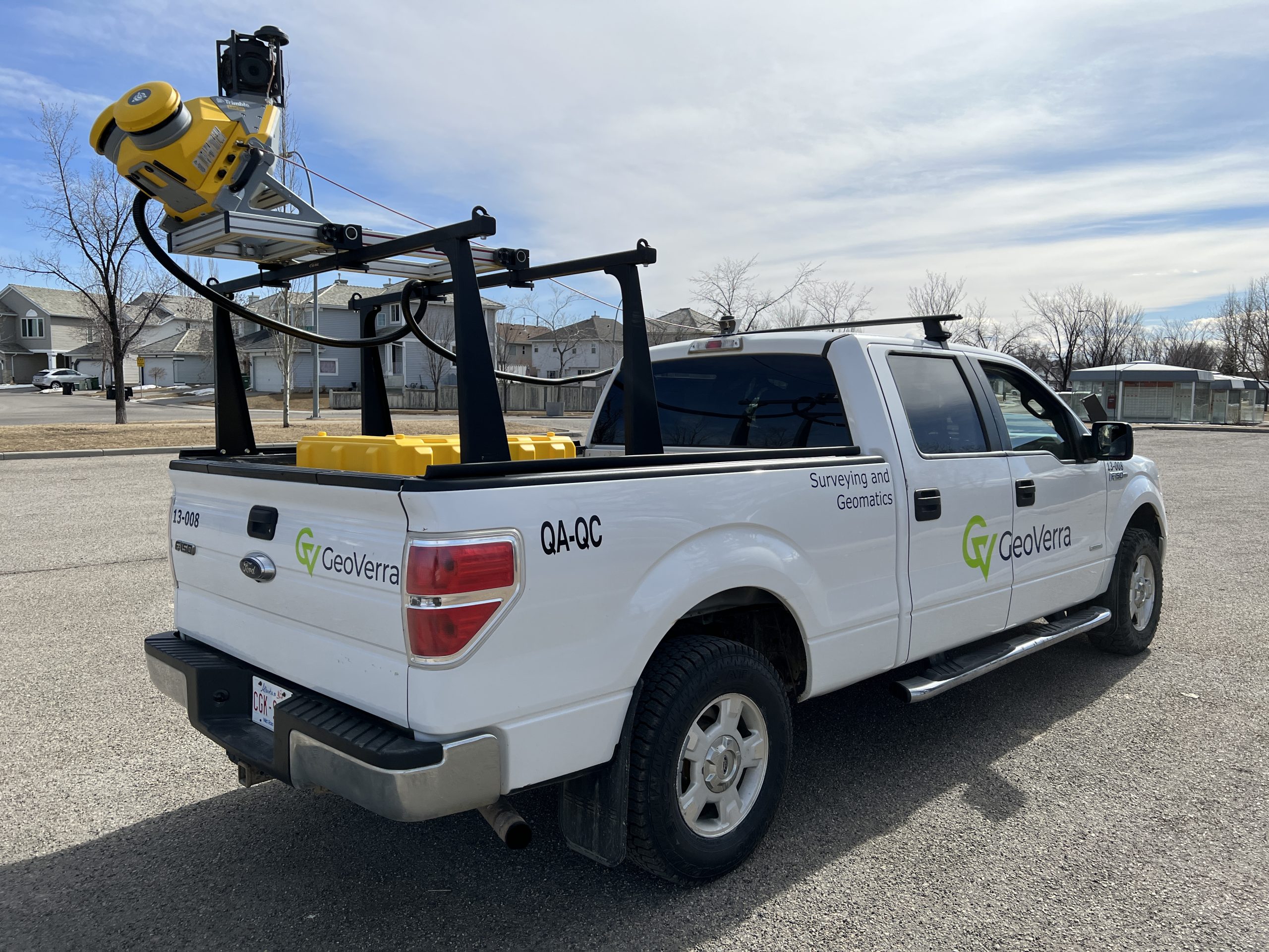 GeoVerra invests in the most advanced technology to help clients save time and money, and mobile mapping systems do just that. This technology measures objects by millions of points per second with centimetre absolute accuracy, quickly collecting every visual component in diverse environments, including highways, power lines, urban streets, railways, and pipeline routes. Clients can easily access this new class of data digitally for a total immersive and accurate 3D view of objects and surroundings for their project. Learn more at Geoverra.com.
Advertisement
Stories continue below